CAA Registered · UK1 Class · DJI Air 3S

Precision From Above.

Drone survey specialists covering agriculture, construction and inspection across England. 2cm accuracy. Fast delivery.

2cm GSD Accuracy
Fast Data Delivery
30mi Free Call-Out
UK1 CAA Class

What We Do

Drone Surveys for Agriculture,
Construction & Inspection.

Every survey delivered as geo-referenced data, orthomosaics, point clouds and full written reports. CAA compliant, fully insured.

Aerial view of UK farmland and crop fields

Agriculture

Field & Crop Intelligence

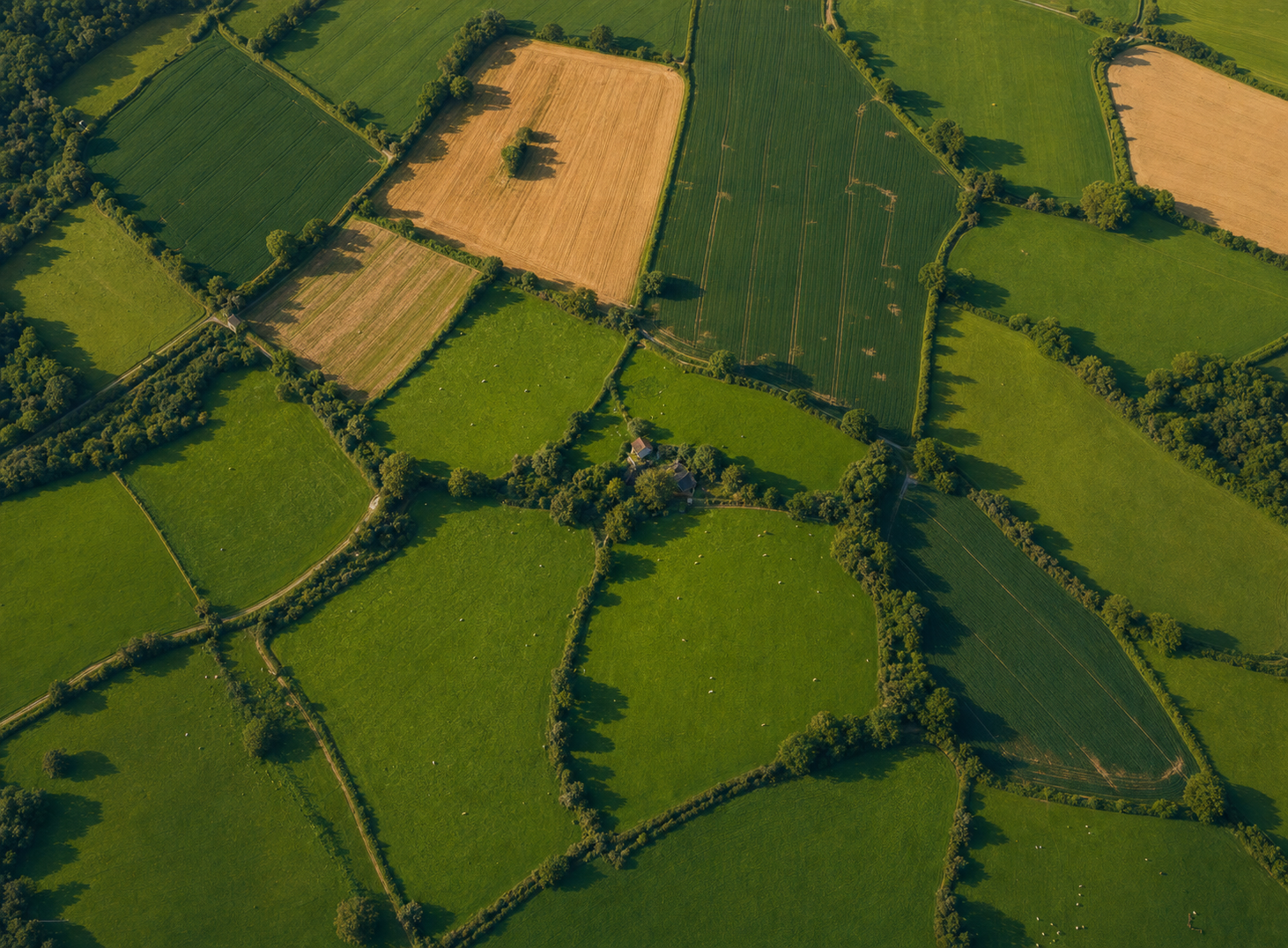
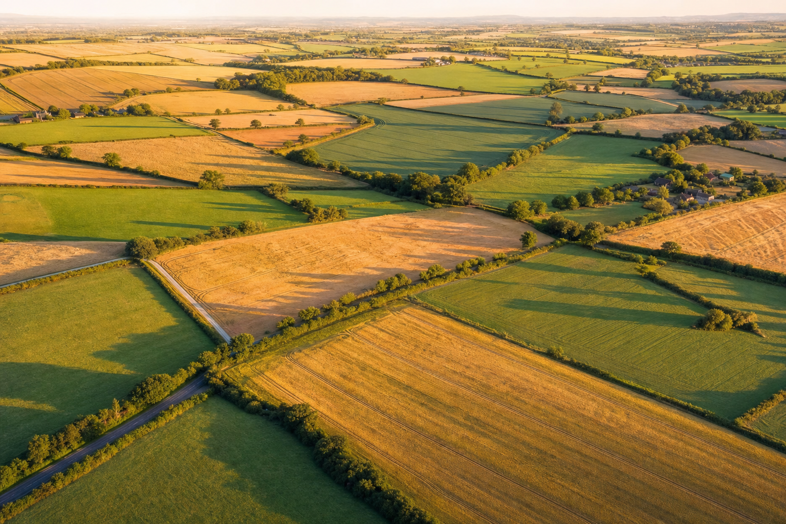
Field mapping, NDVI crop health, soil analysis, irrigation planning, yield mapping and topographic surveys — giving farmers actionable data from the air.

  • Field Mapping
  • Crop Scouting
  • NDVI & Soil Analysis
  • + 3 more services
Discover Agriculture Services →
Aerial survey of construction site from drone

Construction

Site Survey & Monitoring

Site surveys, volumetric calculations, progress monitoring, as-built documentation, cut & fill analysis and facade surveys — precision data throughout the build lifecycle.

  • Site Survey
  • Volumetric Calculations
  • Progress Monitoring
  • + 3 more services
Discover Construction Services →
Drone roof inspection of industrial building

Inspection

Aerial Inspection Services

Safe, fast roof surveys and thermal building inspections without scaffolding — detailed high-resolution imagery and thermal data delivered fast.

  • Roof Survey
  • Thermal Building Inspection
Discover Inspection Services →

The Technology

DJI Air 3S.
Survey-Grade Accuracy.

The Air 3S packs a 1-inch CMOS sensor, 4K/60fps video and dual cameras into a sub-600g airframe — giving us survey-grade data without heavy commercial equipment.

1″CMOS Sensor
4K/60Video fps
46minFlight Time
2cmGSD Accuracy
590gMTOW
UK1CAA Class
DJI Air 3S drone in flight

Why WDG

Gloucestershire’s
Drone Survey Specialists.

Based in Cheltenham, we cover the whole of Gloucestershire and surrounding counties within 30 miles — with zero call-out charge. CAA registered, UK1 class, fully insured for commercial UAV operations.

  • CAA Operator ID registered
  • UK1 class — no authorisation needed for most sites
  • Fully insured for commercial UAV operations
  • 30 miles free call-out from Cheltenham
  • Results delivered fast
Get a Free Quote →
Drone topographic survey data output showing terrain mesh

How It Works

Simple.
Fast. Precise.

01

Brief & Quote

Tell us about your site — location, size and what you need. We'll come back with a fixed quote quickly.

02

Flight & Capture

We fly a pre-planned autonomous mission at the agreed time, capturing overlapping imagery to the specified GSD and coverage.

03

Process & QA

Raw data is processed through photogrammetry software, georeferenced and quality-checked against accuracy standards.

04

Deliver & Support

You receive your deliverables — orthomosaics, point clouds, reports — via secure download fast, with full aftercare.

Get In Touch

Ready to Survey?

Tell us about your project and we'll provide a fixed, no-obligation quote quickly.

Based Cheltenham, Gloucestershire
Coverage Gloucestershire + 30mi free call-out